Historic maps as source for hydrological reconstruction of pre-industrial landscape wetness in Denmark: a methodological study
Nøgleord:
Historic land-use, Wetlands, Soil drainage, Historic mapsSynopsis
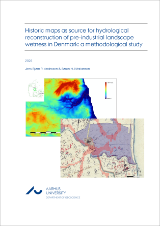
Historic maps are an important primary source which can be utilized in the reconstruction of environmental variables of the pre-industrial landscape. However, methodological constraints have hitherto prevented large scale and systematic approaches. In this paper a novel methodology is presented, which documents the usefulness of the maps in the study of paleo-hydrology and thus serves a better understanding of the conditions for agricultural production under pre-drainage conditions. The methodology is developed based on eighteenth and nineteenth century maps from a 100 km2 study area in one stream catchment in East Jutland, Denmark. It combines information from two types of historic maps in order to correlate computed soil hydrology (wetness index) and recorded historic land-use. The calculated wetness indexes are derived from contour lines on topographic (military) maps (in Danish: Høje Maalebordsblade), whereas the spatial overlays are land-use classes from economic maps (in Danish: Matrikelkort - Original 1). This study demonstrates – for the first time - that the wetness index is explanatory for the agricultural suitable/non-suitable dichotomy (tilled land versus “wetland”: meadows, fens, and peat bogs) on the historic economic maps. Furthermore, the study shows that pre-industrial arable areas were stretched to their limits in respect to cropping wet soils in this agricultural dominated landscape. The study confirms the existing belief that the historic economic maps constitute the best available source of these mosaic-landscapes for periods before the intense subsurface tile drainage began. This finding opens for further methodological development and up-scaling using automatic feature detection, contour line extraction and text recognition of historical maps.